
Highlights
-
Tailings storage facilities can be difficult to monitor for ground movement, using typical conventional methods. Advances in satellite-based radar technology, however, can make this important task easier—and safer. Learn how InSAR is being used to improve surface movement monitoring
-
Watch this vodcast, Working towards zero harm: tailings monitoring and governance in 2021
What is InSAR?
What is InSAR?
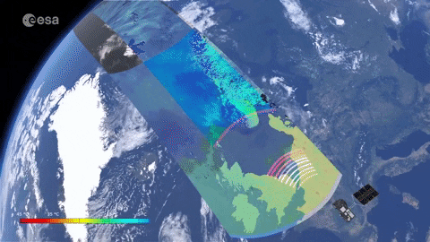
Interferometric Synthetic Aperture Radar (InSAR) is a remote sensing technique that utilises radar images of the Earth’s surface collected from orbiting satellites with active sensors capable of seeing through rain and cloud at any time of the day or might with millimetre accurate changes.
What is InSAR used for?
What is InSAR used for?
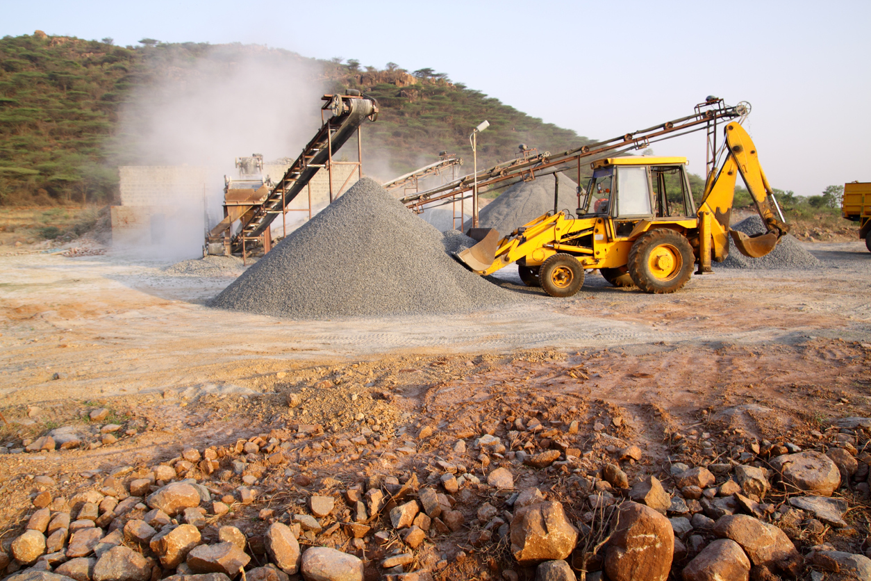
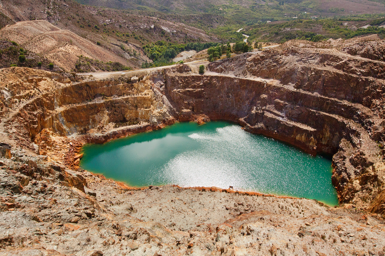
InSAR is used to detect, monitor and measure the magnitude of deformation in land surfaces over time. Understanding the extent and magnitude of such movement, particularly in the mining industry, helps mining operators identify and manage risk of landform features such as stockpiles, infrastructure, and potential failures of tailings storage facilities (TSFs). Tailings dam failures are extremely detrimental to mine productivity, and surface deformation and unattended fractures are common precursors for costly and harmful events.
How does InSAR work?
1. SAR Image Acquisition
Selected satellites transmit pulses of radar to Earth’s surface along their Line of Sight (LOS) and measure the backscattered energy. This radar, or microwave energy, can penetrate rain and cloud and works day or night.
2. Amplitude & Phase
3. Ascending & Descending Orbits
4. Interferograms
The difference between phase measurements derived from SAR is displayed digitally, also known as an interferogram or INSAR.
5. Displacement Map
Combining the two or more InSAR images over time provides timeseries data insights of movement and change in the Earth’s surface.
How is InSAR used to monitor tailings storage facilities (TSFs)?
TSFs are complex, large structures. It’s not uncommon to find embankments with a crest height of 25 m or more and an overall embankment length exceeding 5 km. Monitoring a structure of this size can be a daunting task using conventional methods.
The use of InSAR is gaining in popularity and acceptance, not only by mine operators as a cost-effective means of monitoring large and sometimes challenging areas, but also by geotechnical engineering consultants whom have come to understand and appreciate the high level of reliable data and measurements provided. InSAR has proved extremely useful, particularly when adopted from the early onset of mine development and used right through to closure to provide well-established baseline data.
There are several benefits of using InSAR to monitor surface movements:
- Improved accountability for all stakeholders with the ability to proactively monitor large scale infrastructure projects and adjoining assets for surface movement – before, during and after construction.
- Improved safety – no requirements for personnel onsite
- Reduced costs by capturing significant data sets more efficiently and effectively than traditional methods.
- Less infrastructure – no onsite infrastructure requiring training, maintenance and repairs
- Highly accurate results (several mm)
- Economical & efficient – large areas can be captured in a single overpass
- Improved data integrity & access – a “single source of truth” can be accessed securely on line with multiple devices anywhere with internet coverage.
- Improved user friendly communications – end users do not require technical GIS/BIM skills or IT resources to interpret reports.
- An excellent ROI – compared to alternate and more traditional solutions.
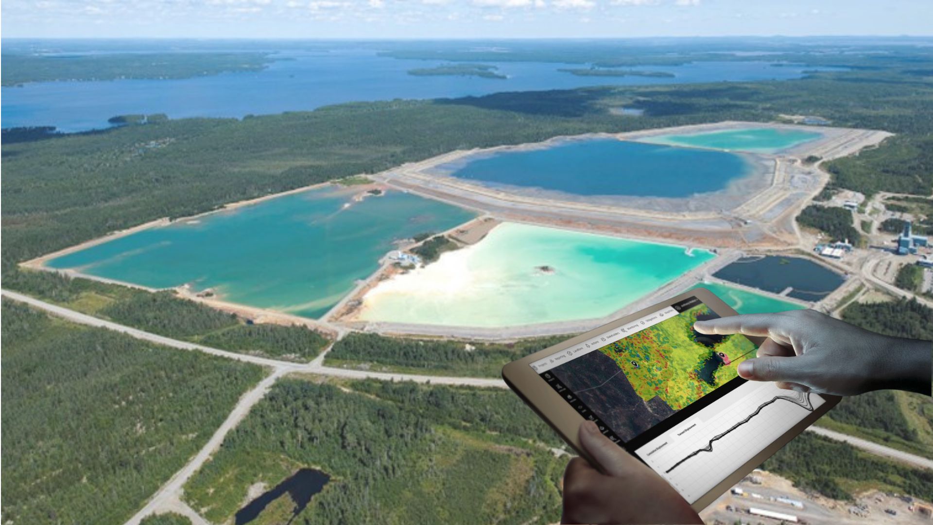
K2fly Tailings Management’s InSAR module allows you to monitor, measure and detect deformation of land surfaces over time. There will be automatic alerts to customer defined exceedances to a precision of 1-2 millimetres. Working with 3VG to utilise radar signals from earth-orbiting satellites, our solution provides a way to visualise displacement (cm) on an interactive map to enable users to identify specific areas of deformation across a broad range of interest. Decipher analysis tools also allow users to then chart the details along a transect line or a single point over time. This also includes the ability to view historical imagery to show areas of deformation.
Armed with K2fly Tailings Management, users can also:
- Draw transect line across area of interest to display total displacement (cm) at each point over time in an exportable chart
- Select a point on the map to display total displacement (cm) at each point over time in a chart that can be exported
- Analyse areas of interest of 1500 square kilometers each. Then, generate tens of millions of data points per area to provide a better understanding of the extent of movement
- Detect 1 to 2 millimeters of displacement each year in an up and down, east and west direction
- Set a maximum displacement threshold to flag any exceedances on the map
- Assign subsidence related preventative and corrective actions to individuals with the ability to incorporate a second layer of approval and escalation of overdue actions. With associated and automatic notifications.
Effectively monitor your tailings storage facility with K2fly
K2fly’s Tailings solution is designed to provide you with key data and insights, enabling you to effectively monitor your TSF and your environmental obligations and compliance. Our solution can be securely accessed by industry, regulators, designers and operators involved in the management of TSFs.
We offer a comprehensive and functionally rich solution. This combines regulatory (Compliance Management Software), mining waste management, stakeholder engagement, environmental monitoring, and environmental management system tools to assist with tailings management:
Features:
- View real-time data and receive exceedance alerts
- Monitor land movement with remote sensing and InSAR datasets
- Visualise real-time LiDAR data with insights into dam movement
- Securely store and access all of your tailings data in the one place
- Upload and reference key documentation
- Visualise facilities across multiple sites in a single screen on a geospatial map
- Monitor your facilities with InSAR, LiDAR, DEM and more
- Capture a wide range of monitoring data and indicators. Includes surface and groundwater, decant pond water levels and quality, and embankment conditions
- Capture and track obligations and conditions around your license to operate to manage your key risks and actions
- Action and task delegation for data collection with reminders
- Maintain and track environmental monitoring compliance limits and exceedances
- Manage and engage with all of your stakeholders with one central repository
- Convert your engagements into actionable outcomes
- Forecast, plan and track your sites activities using IBM’s Weather data
- Create corporate report templates and meet requests for data provision from industry groups such as ICMM, Global Tailings Portal, PRI and UNEP
- Integration capability with third party systems or public portals such as the Global Tailings Portal
Don’t miss another update!
- K2fly on LinkedIn
- K2fly on Twitter
- K2fly on Facebook
- K2fly on YouTube
- World you like to know more?